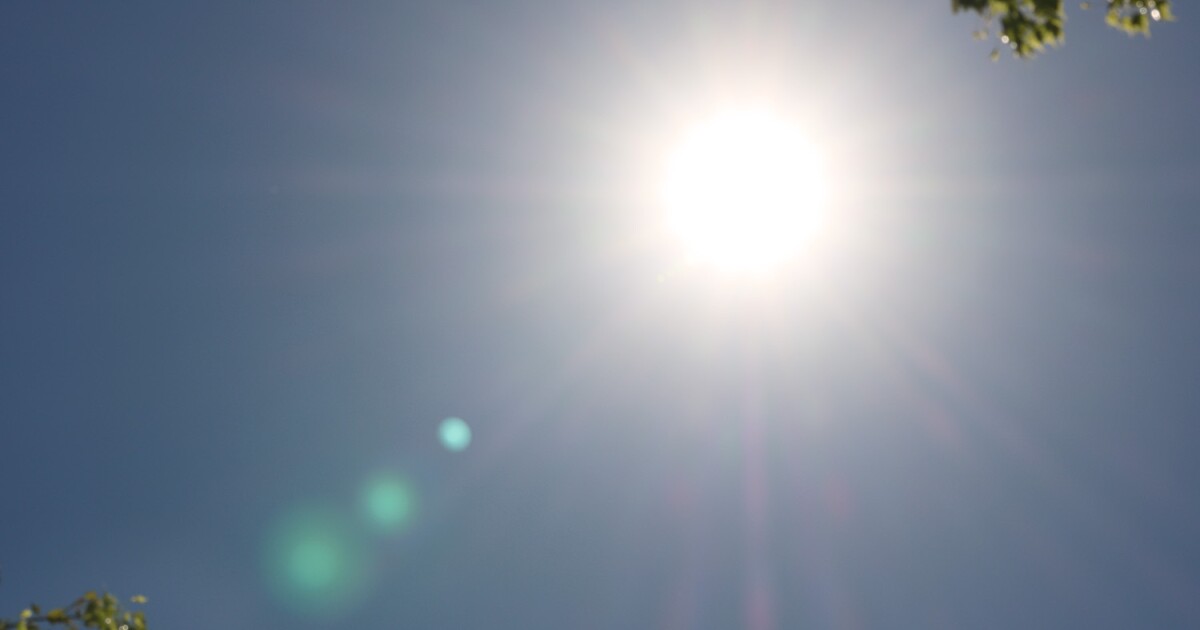
The Phoenix area is experiencing a brief respite from its typically scorching temperatures, but residents should brace for a hot weekend ahead. Temperatures are forecast to surpass 100 degrees, continuing a trend of record-breaking heat. March 18 marked a new milestone when Sky Harbor International Airport recorded 102 degrees, the earliest 100-degree day on record and the hottest March temperature ever documented.
This heat record follows the hottest winter and spring Phoenix has ever seen, raising concerns about another intensely hot summer. However, a “super El Niño” might offer some relief, according to Randy Cerveny, a geographical sciences professor at Arizona State University and an expert in extreme weather.
Insights from the Expert
LAUREN GILGER: Good morning, Randy. Thanks for joining us.
RANDY CERVENY: Hey, my pleasure.
LAUREN GILGER: We’re expecting 100-degree temperatures this weekend. Is this early for Phoenix?
RANDY CERVENY: It’s slightly early. We’re reaching 105 degrees, which typically occurs a bit later in the season. However, we’ve already surpassed 100 degrees in March. The heat is necessary, though, as it triggers the thunderstorms that bring moisture from the Gulf of California and the Pacific Ocean into our region.
LAUREN GILGER: So, these hot days are a precursor to monsoon activity. What about this summer—are we looking at another hot season?
RANDY CERVENY: Unfortunately, yes. We’re expecting hot and potentially humid conditions. Moisture from the Gulf of California and the Pacific Ocean will play a significant role. The “super El Niño” in the Pacific Ocean is intensifying, bringing warmer waters from Australia and Asia to our side. This disrupts weather patterns globally, including an increase in Pacific hurricanes, which could funnel moisture into Arizona, enhancing our monsoon season.
LAUREN GILGER: So, we might experience a particularly wet monsoon season?
RANDY CERVENY: Exactly. Instead of the usual hot and dry, expect hot and moist conditions. This year’s strong El Niño could lead to more hurricanes in the Pacific, with their moisture affecting Arizona and potentially increasing storm activity.
LAUREN GILGER: How localized are these monsoon storms, and how should we prepare?
RANDY CERVENY: Monsoon rains are highly localized. One area may experience heavy rainfall while another remains dry. This summer, we anticipate more frequent storms, raising the chances of rainfall in any given area.
Wildfire and Air Quality Concerns
LAUREN GILGER: There’s a fire near Buckeye affecting air quality. What can you tell us?
The Hazen Fire, currently near Buckeye, has grown over 1,100 acres and reached 10% containment. It’s situated close to residential areas and State Route 85, posing air quality risks.
RANDY CERVENY: Fires significantly impact air quality, akin to severe dust storms. Agencies like the National Weather Service and Arizona Department of Environmental Quality use models to predict smoke movement and its impact on the Valley, enhancing public safety measures.
LAUREN GILGER: How does fire smoke affect health compared to smog?
RANDY CERVENY: Fire smoke can be very hazardous, similar to conditions during intense dust storms. Arizona’s Department of Environmental Quality is implementing a dust storm ranking system to inform residents about air quality during these events.
LAUREN GILGER: What precautions should residents take during wildfire season?
RANDY CERVENY: Stay informed about air quality advisories and remain indoors if your area is affected. Indoor air is typically safer than outdoor air when smoke is present.
LAUREN GILGER: Thank you, Randy Cerveny, for your insights.
RANDY CERVENY: My pleasure.