Innovative Drone Technology Transforms Archaeological Research at Wupatki National Monument
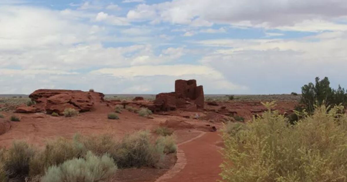
In a groundbreaking approach to archaeological studies, researchers from Northern Arizona University (NAU) are employing drone technology to meticulously map portions of the Wupatki National Monument. This initiative aims to offer new insights into the Wukoki Pueblo, a historical settlement believed to have been inhabited during the 12th century.
Collaborating closely with the National Parks Service, experts from NAU’s Department of Anthropology and the Radiant Center for Remote Sensing are digitally capturing the intricate details of the Wukoki Pueblo. This remarkable project is led by NAU anthropologists and assistant professors Kaitlyn Davis and Kellam Throgmorton, who, alongside a team of nine graduate students, are creating a comprehensive digital archive of the site.
The team is utilizing drones to gather data through kinetic GPS, thermal imaging, and laser scanning, providing a non-invasive means of assessing the site’s integrity and condition. This method, which typically isn’t allowed over federal lands, enables researchers to construct 3D models that can be analyzed globally, thus broadening access to this archaeological treasure.
“The field of archaeology has shifted to doing a lot more preservation-minded work and thinking about how we can document things in a way that is relatively non-destructive and non-invasive,” stated Throgmorton. “We have to think about how we create baseline documentation so we can monitor or manage any kinds of changes that might occur to these sites.” This perspective underscores the shift towards sustainable archaeological practices, emphasizing the preservation of cultural heritage through advanced technology.
For more information, visit NAU News.